
Benton Deadwater
Map
Description
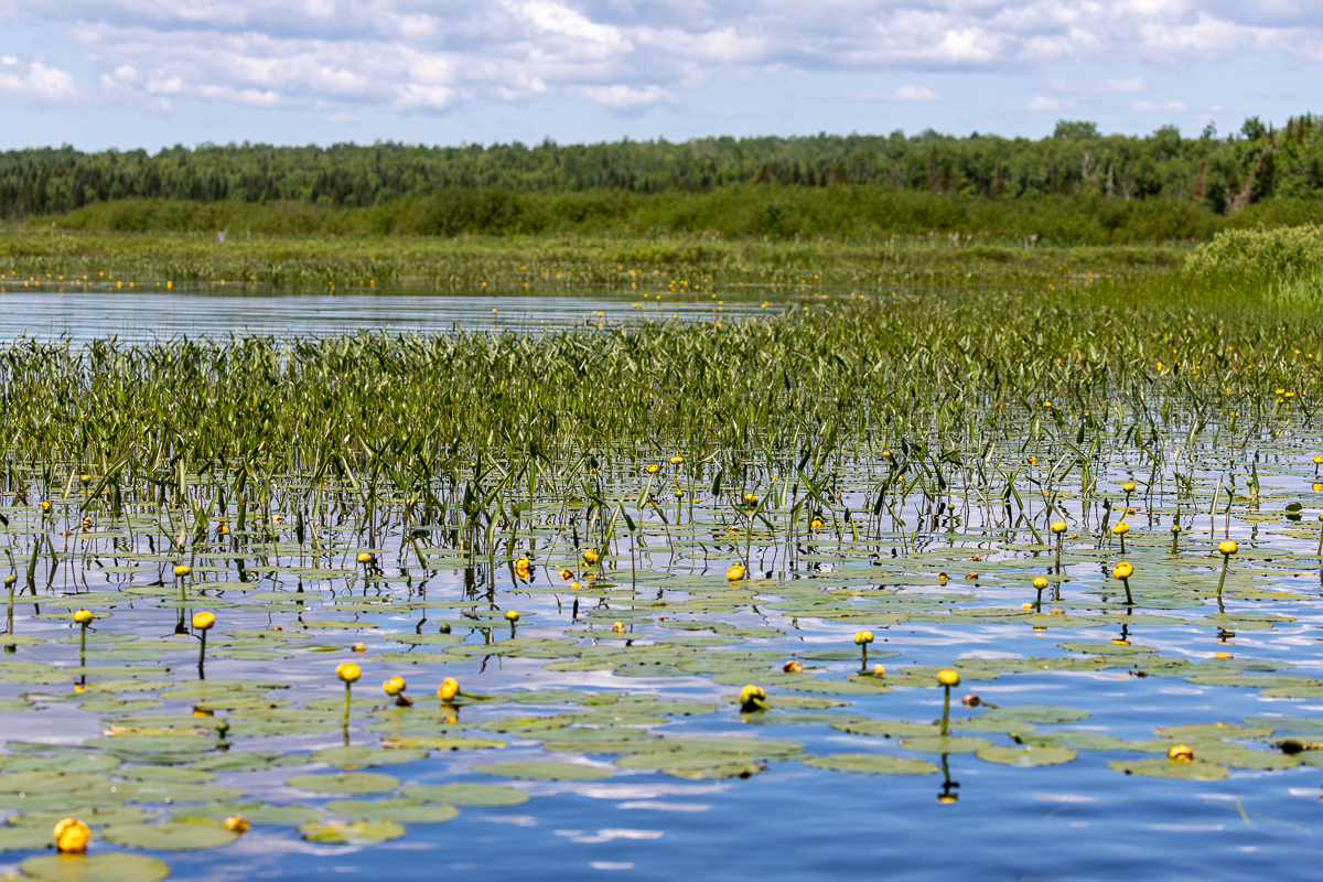
The Benton Deadwater is a long, wide deadwater created by the arch dam near the boat launch in Benton. The deadwater is about 3 kilometres long on Eel River. The boat launch has a shelter, picnic tables, and a small dock. There are a couple of side streams that form part of the deadwater. One on the right not far from the boat launch and Pocowogamis Stream on the left at 2.5 kilometres from the boat launch.
We have paddled two routes on the deadwater. The Island Loop is a paddle to the mouth of Pocowagamis Stream where there is a small island between the stream the river. The longer Mollys Rock Route continues beyond the island and takes you to Mollys Rock. Mollys Rock has been a popular stopping place for thousands of years for people traveling along this river on their way from the St. John River Valley to Bangor Maine.
Galleries
Podcasts
A Paddle to Molly's Rock
Store

Directions
From Route 2 between Nackawic and Woodstock, take exit 212 towards Benton. Descend the hill towards Meductic and at the stop sign turn left towards Benton. Drive for 4.3 kilometres, passing through Meductic, and then turn left towards Benton. Climb the hill, cross under the highway, and drive for 8.5 kilometres to get to Benton. Benton is quite small with only one intersection. Turn left at the intersection to check out the covered bridge. Continue straight at the intersection and you will soon come to the boat launch at the end of the road.
