Colwells Wharf to Foshay Lake Loop
Quick Facts
| Features | historic wharf, river |
| Access | boat launch |
| Route Difficulty | easy |
| Water Body Type | river |
| Current Type | minimal |
| Route Type | loop |
| Route Distance | 4.8 km |
| Portage Distance | none |
| Estimated Time | 2 hours |
| Elevation Change | 3 metres |
| Scenery Rating | beautiful |
| Cell Reception | medium |
| Fees | none |
Description
Note: These waterways are fairly well protected by surrounding trees but wind conditions can still drastically vary the speed and difficulty of your trip. Please plan accordingly.
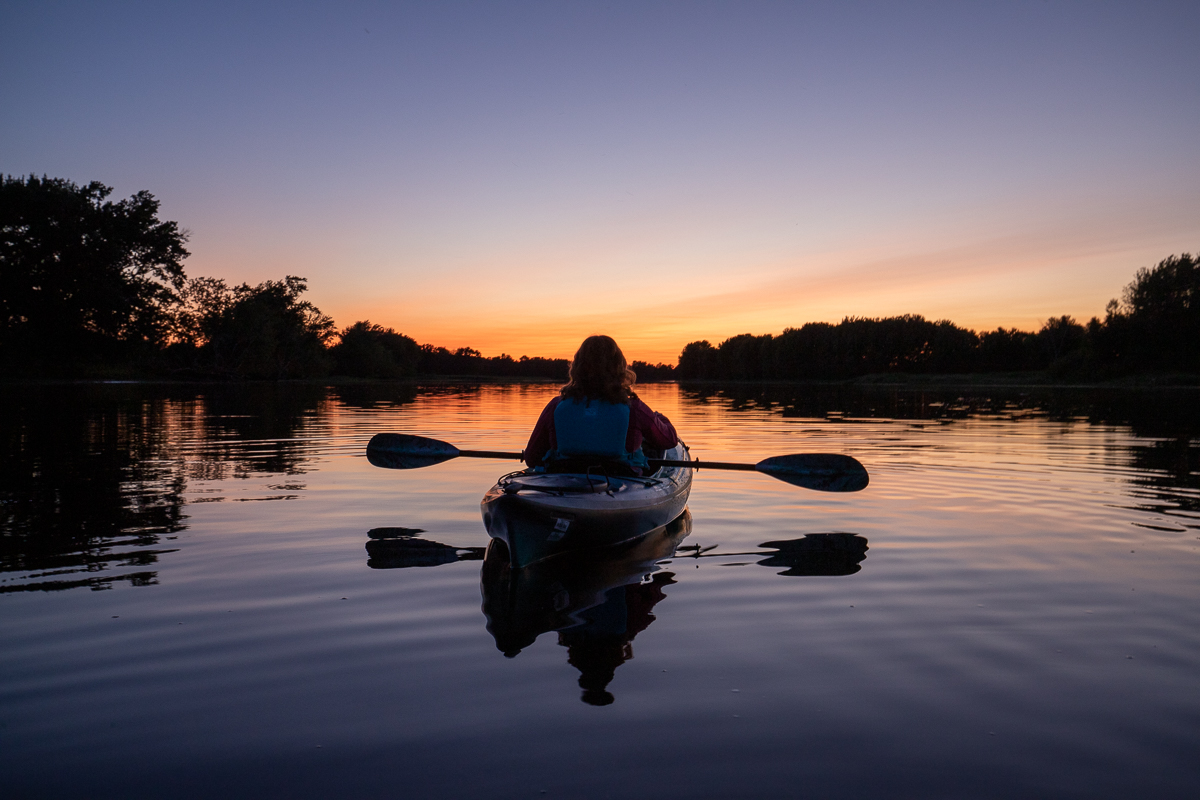
There is a lot of recreational boat traffic in this area so use caution and be aware. On our trip we passed speedboats, sailboats and jet skis. When you get in the water, continue along the shore on the right. After passing a farmer's field you will enter a smaller channel. Continue up the hardwood lined channel. After 1.5 kilometres the trees will open up into a grassy berm on the left. The berm soon ends as the channel opens up into Foshay Lake.

You can continue into a small channel that opens up into a larger part of Foshay Lake. We were running out of light so we turned left as we came into Foshay Lake. Across from the end of the berm you will see a small channel that goes out into the larger river channel. When you come out into the larger channel turn left and continue downriver until you get back to the wharf. Make sure you stay to the left as the channel splits before you get to the wharf.
Map
Trail Last Hiked: July 9, 2022.
Page Last Updated: December 26, 2024.


