
Restigouche River
Map
Description
The Restigouche River is one of the historic salmon fishing rivers in the province. The river begins in the wilderness of Northwestern New Brunswick. After passing close to the town of Kedgwick it flows north to form part of the border between New Brunswick and Quebec. The river then heads east and eventually flows into Chaleur Bay at Campbellton.
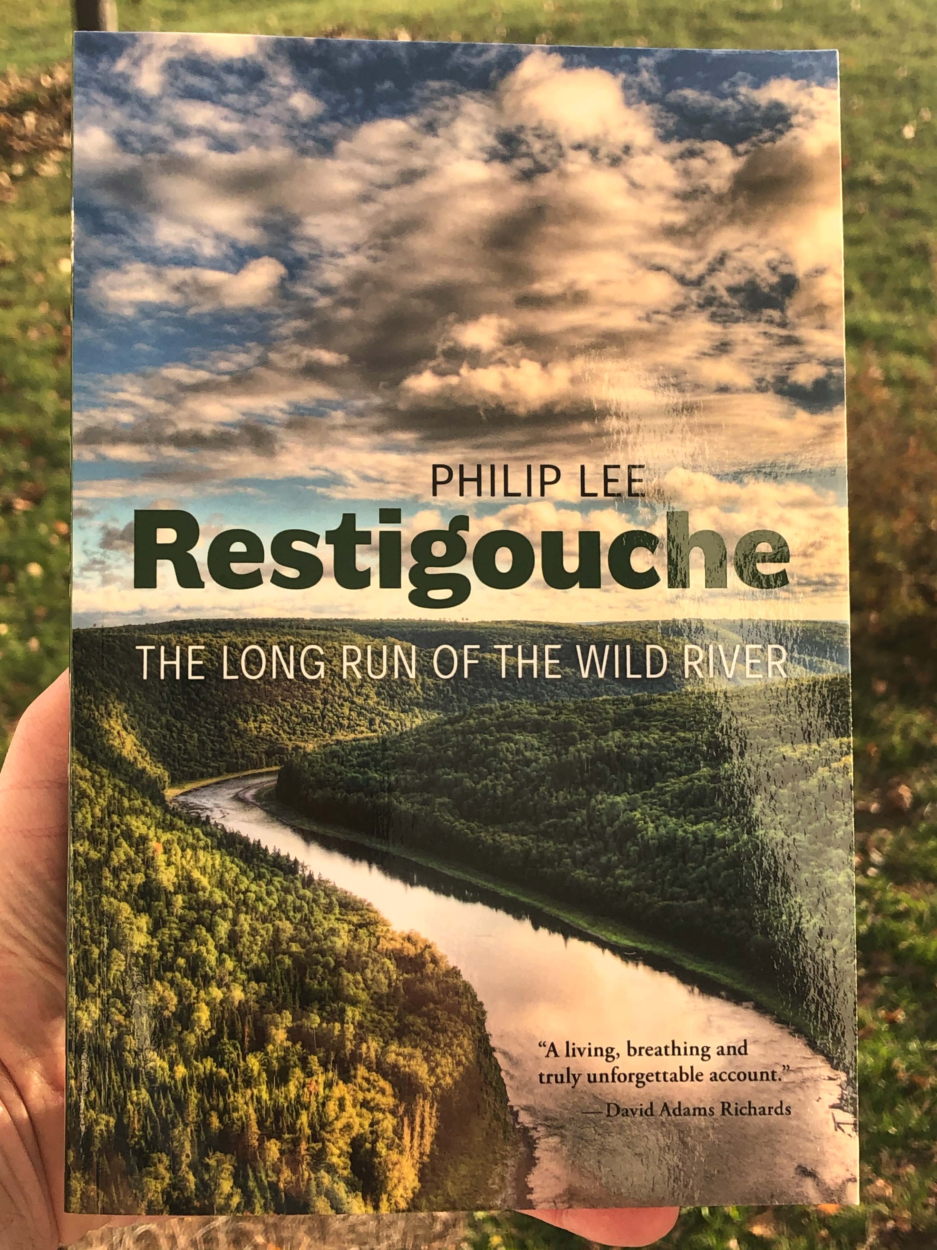
There are many historic fishing camps on the river. The river always has a pretty good flow and it cuts through the deep valleys of this mountainous part of the province. One of the historic fishing camps is Larry's Gulch that is now owned by the provincial government. If you are interested in the history of the river you can read more about it in the book called Restigouche - The Long Run of the Wild River.
Galleries


Store
Directions
There are many access points to the river. For more details check out the routes pages.