
Mount Carleton Provincial Park
Map
Description
Mount Carleton Park is a remote park in the most mountainous region of the province. The park is more than 17,000 ha of forest in the northern part of the province, and is a 30 minute drive to St-Quentin, the nearest civilization. Mount Carleton is the highest peak in the Maritime provinces at 820 meters (2690 feet). The mountains tower above several large lakes. The main lakes are Nictau Lake and Bathurst Lake.
On the shores of Nictau Lake are a lodge, several campgrounds, and cabins. There is also an island that is shaped like a heart, that is best viewed by hiking the Mount Sagamook Trail. The Nictau Camps to Park Lodge Route explores this part of the lake. The Nictau Camps to Portage Route explores the other end of the lake and takes you to a swamp and Portage Trail. This trail replicates the ancient portage trails that were used in this area for thousands of years.
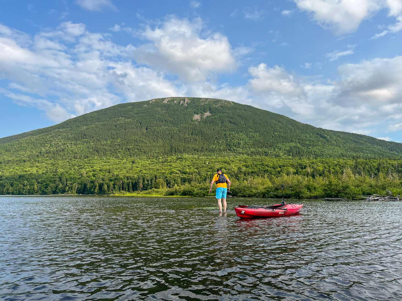
Bathurst Lake is deeper in the park and more remote. The Bathurst Lake Route provides great views of Mount Carleton and the Mount Carleton plateau. There is another set of camps at the far end of the lake where the lake system extends to the east into Camp Lake, Teneriffe Lake, the Nepisiguit Deadwater, and Moose Bogen. These lakes flow into the Nepisiguit River. The Camp Lake to Teneriffe Lake Route is a great place to see moose.
The lake system in Mount Carleton Park is the headwaters to three major river systems in the province. That made this area a hub for travel throughout the province before there were roads. The Nepisiguit River flows to Bathurst in east, the Upsalquitch flows north to Campbellton, and the Tobique flows into the Wolostoq (St. John) River to the southwest.
Store

Galleries
Directions
From Plaster Rock take Route 385 north for 76 km. You will find the entrance to the park on your right.
From St-Quentin take Route 180 east for 31 km then turn right onto Route 385. Travel for 9 km and you will see the park entrance on the left. Note that a section of route 385 is gravel.
From Bathurst take Route 180 west for 108 km then turn left onto Route 385. Travel for 9 km and you will see the park entrance on the left. Note that a section of route 385 is gravel.
Videos

Routes in the Park
- Nictau Camps to Portage Route
- Nictau Camps to Park Lodge
- Camp Lake to Teneriffe Lake
- Bathurst Lake
- Camp Lake to Moose Bogen