
Route List
Search Tip: Use Ctrl F or Command F to bring up a search window. You can search for locations such as parks, route difficulty such as easy or features such as waterfalls.Map
Acadian Coastal South Region
This Region has a variable coastline to explore including peat cliffs, sand dunes, salt water marshes, tidal rivers and red sandstone cliffs.
Store
| Location | Water Body | Route |
|---|---|---|
| Kouchibouguac National Park | Kouchibouguac Lagoon | Kouchibouguac Lagoon |
| Kouchibouguac National Park | Saint-Louis Lagoon | Saint-Louis Lagoon |
Map
Acadian Peninsula and Chaleur Region
This region has many coastal adventures. The area is flatter ground and known for its many sandy beaches and dunes. It also has many lagoons and bays to explore.
Store
| Location | Water Body | Route |
|---|---|---|
| Neguac | Neguac Bay | Neguac Dunes |
Map
Appalachian Mountain Region
This region is the most mountainous region in the province. The mountains are surrounded by many lakes and rivers to explore.

| Location | Water Body | Route |
|---|---|---|
| Mount Carleton Park | Camp and Teneriffe Lakes | Camp Lake to Teneriffe Lake |
| Mount Carleton Park | Nictau Lake | Nictau Cabins to Park Lodge |
| Mount Carleton Park | Nictau Lake | Nictau Cabins to Portage Trail |
Map
Fundy East Region
This region is shaped by the highest tides in the world. There are several options to paddle around flowerpot rocks and sea caves.
Store
| Location | Water Body | Route |
|---|---|---|
| Jolicure | Jolicure Lakes | Tintamarre National Wildlife Area |
| Sackville | Silver Lake | Silver Lake |
Map
Fundy West Region
This region includes the Fundy Isles. The islands offer many opportunities for coastal exploration in the middle of the Bay of Fundy.
Store
| Location | Water Body | Route |
|---|---|---|
Map
Lower St. John River Valley Region
This region is split by the St. John River. There are many other smaller rivers and streams in this region and many lakes to explore.
| Location | Water Body | Route |
|---|---|---|
| Benton | Benton Deadwater | Island Loop |
| Benton | Benton Deadwater | Mollys Rock |
| Blaney Ridge | Clear/Mud Lakes | Clear and Mud Lake |
| Burtts Corner | Keswick River | Tripp Settlement to Route 104 |
| Colwells Wharf | Wolostoq/St. John River | Colwells Wharf to Foshay Lake |
| Colwells Wharf | Wolastoq/St. John River | Lower Musquash Island Lighthouse |
| Charlie Lake | Charlie Lake | Charlie Lake |
| Chipman | Hutchinson Brook | Stewart-McLeod Park |
| Fredericton | Nashwaak River | Barker's Island |
| Fredericton | Nashwaak River | Kaine Creek |
| Fredericton | Nashwaaksis Stream | Nashwaaksis Stream |
| Fredericton | Wolostoq/St. John River | Never's Island Loop |
| Fredericton | Wolostoq/St. John River | South Riverfront |
| Fredericton | Wolostoq (St. John) River | Wolostoq Adventures |
| Fredericton Junction | Oromocto River | Prides Landing to Sunpoke |
| French Lake | Oromocto River/Sunpoke Lake | Sunpoke Lake and Creek |
| Gagetown | Coy and Harts Lakes | Coy and Harts Lake |
| Gagetown | Wolostoq/St. John River | Mt. Creek - Gagetown Island |
| Grand Bay-Westfied | Nerepis Marsh | Nerepis Marsh |
| Hampstead | Palmer Creek | Palmer Creek |
| Hartin Settlement | Aarons Brook | Aarons Brook |
| Harvey | Harvey Lake | Harvey Lake |
| Hurley Corner | Hurley Corner Deadwater | Hurley Corner Deadwater |
| Keswick | Wolostoq/St. John River | Keswick Island |
| Kingsclear | Wolostoq/St. John River | Mitchell's Island |
| Lake George | Lake George | Lake George |
| Lakeville Corner | Maquapit Lake | Fulton Island Loop |
| Lower Cambridge | Washademoak Lake | Washademoak Lake from Motts Wharf |
| Magaguadavic | Meadow Brook | Meadow Brook |
| Millville | East Branch Nackawic Stream | East Branch Nackawic Stream |
| Nackawic | Wolostoq/St. John River | Nackawic to Coac Stream |
| Nackawic | Wolostoq/St. John River | Nackawic to Nackawic Bridge |
| Nackawic | Wolotoq/St. John River | Nackawic Bridge to Nackawic Stream |
| Nackawic | Wolostoq/St. John River | Nackawic to Big Axe Brewery |
| Nackawic | Wolostoq/St. John River | Nackawic to Dumfries |
| Nashwaak | Nashwaak River | Pleasant Valley to Marysville |
| North Lake | North Lake | Hay Brook |
| North Lake | North Lake | Monument Brook |
| Oromocto | Wolostoq/St. John River | Thatch Island |
| Pokiok | Shogmoc River | Shogomoc Cove |
| Queenstown Wharf | Wolastoq/St. John River | Lower Musquash Island |
| Rusagonis | Rusagonis Stream | Rusagonis Stream |
| Rusagonis | Rusagonis Stream | Rusagonis Stream to Oromocto West |
| Scotch Lake | Scotch Lake | Scotch Lake |
| Spednic Lake | Spednic Lake | Diggity Stream to Spednic Lake |
Map
Miramichi Region
The Miramichi River is a historic salmon fishing river that has several tributaries. Many of the tributaries start in the wilderness in the middle of the province. There are also many wild lakes and the tidal mouth of the Miramichi River to explore.
Store
| Location | Water Body | Route |
|---|---|---|
| Doaktown | Main SW Miramichi River | Main SW Miramichi |
| City of Miramichi | Miramichi River | Beaubears Island Loop |
| Renous | Kennedy Lakes | Kennedy Lakes |
| Southesk | Guagus Lake | Guagus Lake |
Map
Upper St. John River Valley Region
The Upper part of the Saint John River flows down the western side of the province, passing through many cities and towns.
Store
| Location | Water Body | Route |
|---|---|---|
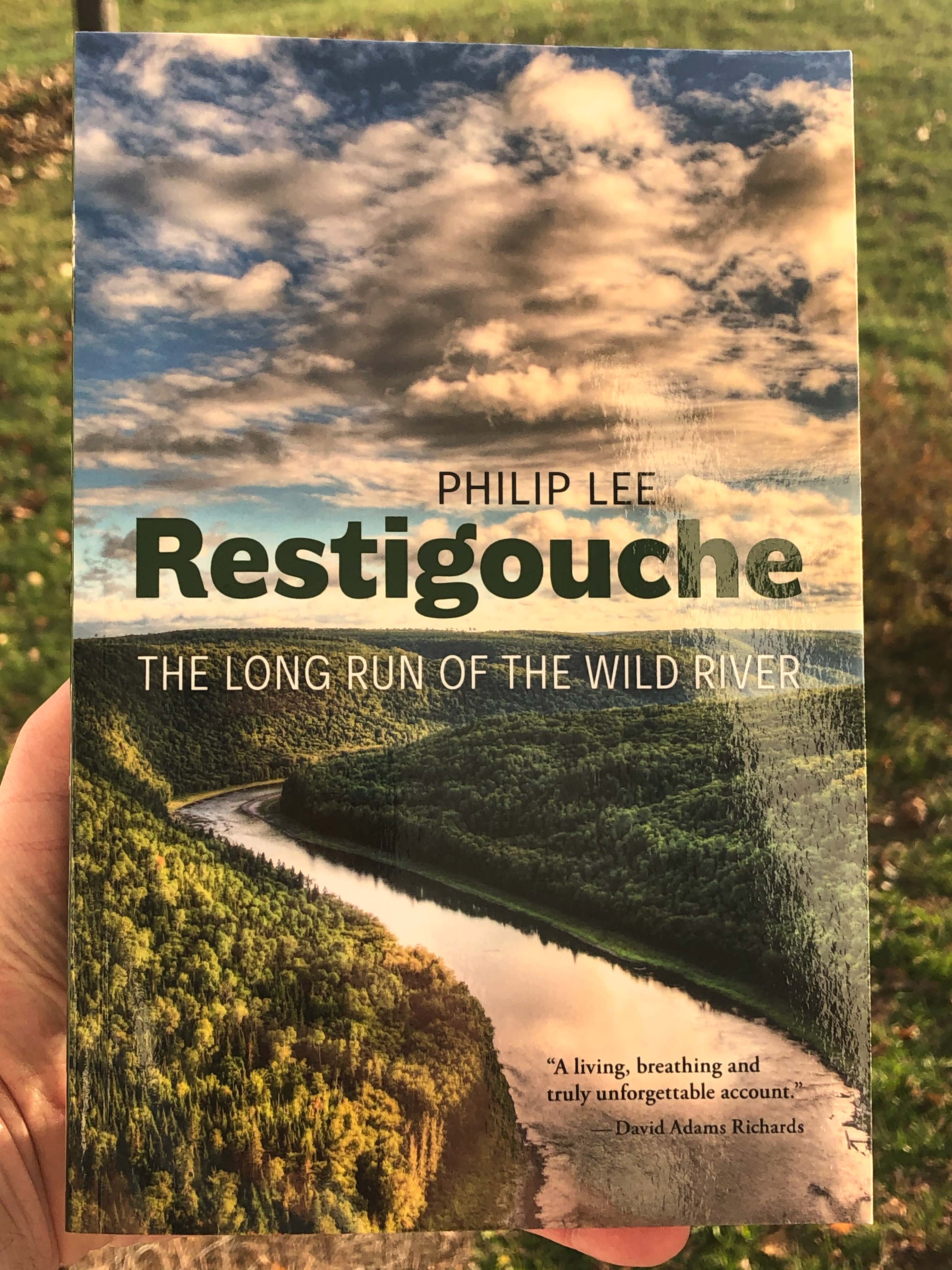
| Kedgwick | Restigouche River | Larry's Gulch |
| Plaster Rock | Roulston Lake | Roulston Lake |
| Woodstock | Kilmarnock Deadwater | Kilmarnock Deadwater Route |
| Woodstock | Meduxnekeag River | Jackson Falls to Red Bridge Road |